As you drive along this route, you will see some of the points of interest are identified by small brown and white signs
0.5 km Flinders River
Queensland’s longest river extending 1004 km & flowing into the Gulf of Carpentaria. It was named after Mathew Flinders by Lieutenant Stokes of HMS Beagle in 1841.
9.5 km Mt Beckford Sandalwood Hill
In this area, Sandalwood was harvested and processed at a mill in Richmond for the Asian market.
16.7 km Belemnite Locality
Travel for 16.7km from the Flinders Discovery Centre & you will come to two washed out creek beds passing under the road. On the right hand side of the road you will see a stand of 3 gum trees. At these gullies you can find Belemnite fossils, parts of an ancient marine creature which are 100 – 110 million years old.
20.8 km Matchbox Creek
The creek was so named because a wagonette of matches exploded close by.
27.8 km Typical stock route water facility (left hand side)
29 km Flinders River Byway Turnoff
35.6 km Dingo Fence
As you cross the grid, look for the old wooden posts and mesh fence running out to the left and right. This was once the old dingo barrier fence which extends for more that 2500kms, making it the longest fence in the world. Built to protect sheep and cattle from dingoes, graziers began erecting the dingo proof fences in this area in the 1930’s. There are no longer any sheep in this part of the region, so this section is no longer maintained.
51.8 km Eaglehawk Gorge Lookout / Devil’s Elbow
52.0 km Unmarked Grave (left hand side)
Two stories have been told about this grave:
- This may be the resting place of an old Chinese man that was found dead along this road who was either making his way to or from the Woolgar Goldfields and was run over by a dray OR
- It marks the grave of an Aboriginal girl called Minnie Waite who perished either by foul means or of exposure when trying to walk into Hughenden from a nearby station
55.4 km Mailman’s Grave & Bottletree Ridge Lookout
It is believed that in the early months of 1886, the packhorse mailman (only means of communication in the old days) was speared by a group of hostile Aborigines from the top of the hill. He was buried where he was found. The name of this ridge came about because the unusual trees located here resemble Boab or Bottle trees.
58.7 km Simpson’s Pinch
Refers to the length of gravel road visible to the left of the bitumen. Before the days of bulldozers, the incline was almost vertical, which gave the old teamsters a great deal of trouble. It was just as hard to get down with a loaded wagon as it was to get up. This road was the original link to Townsville; the new road only came about with the building of the railway line to Hughenden.
62.5 km Porcupine Gorge Lookout Turnoff
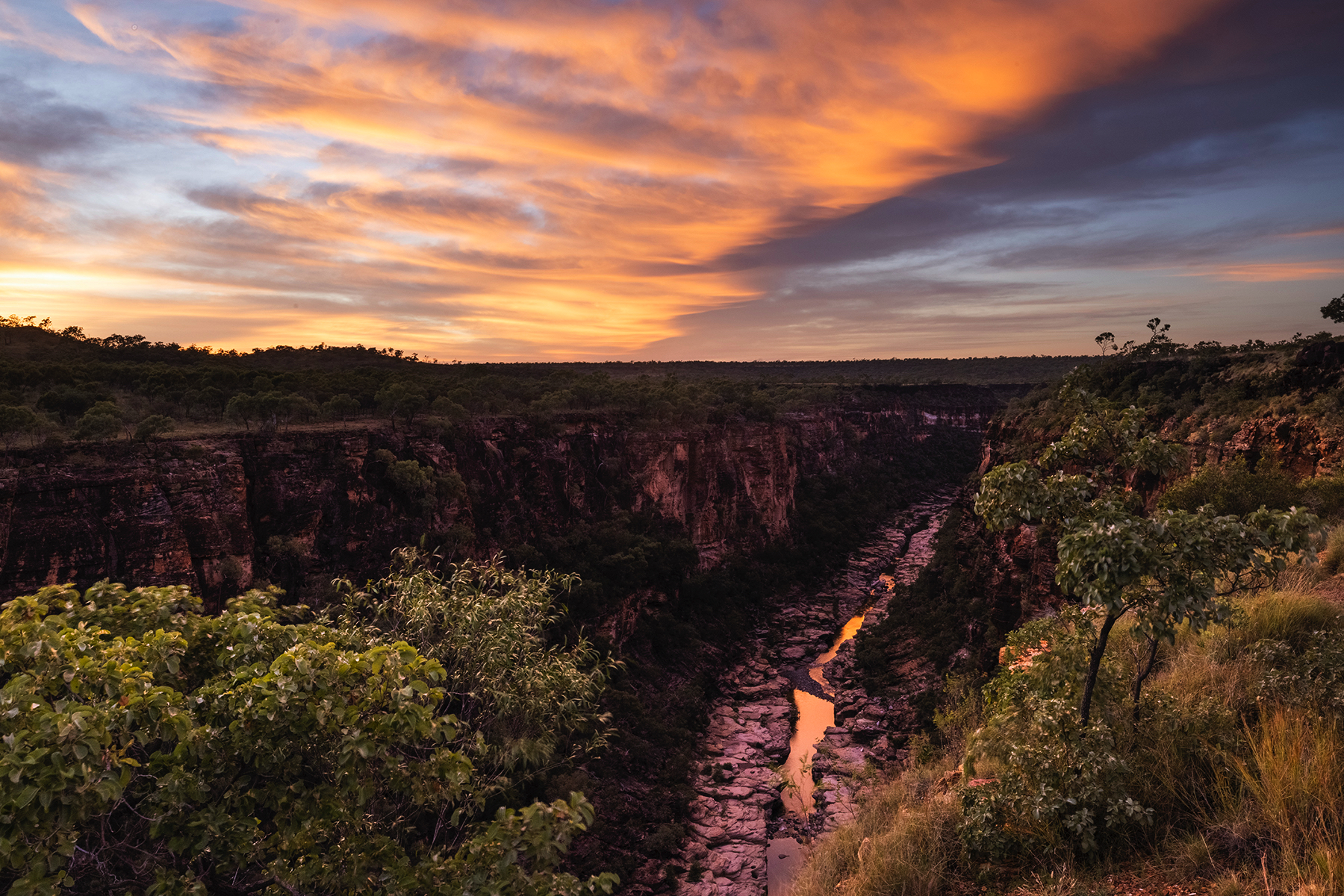
Turn right at this point and travel in for 1.5 km and you will come to a cemented path which leads to the spectacular viewing platform for the Gorge, cliff drop is approximately 120m.
63.5 km Whistling Bore
Located on your right (look for the small capped gate with a turnstile), this bore is approximately 500 feet deep. Why it whistles is a mystery, but one possible explanation is that a cave-in somewhere in the shaft of the bore has created a wind tunnel.
66.0 km Pyramid Campground & Lookouts Turnoff
Travel in 7km to reach the National Park campground. After 1.8 km you will see on your right, close to the road edge, “Ebony & Ivory” – two entwined trees, one black, one white. At the campground check out the two lookouts– Pyramid & Rim Walk – or follow the 1.1km gravel walking path down into the gorge to explore the wonderful sandstone & basalt rock formations. Take a dip in the spring-fed waterhole at the base of the Pyramid.
Note. * CAMPSITES MUST BE PREBOOKED 137468, ONLINE OR AT THE DISCOVERY CENTRE *
66.6 km Bill Crossley’s Grave (1888)
(On Kennedy Development Road) The death of teamster Bill Crossley is a mystery, with a couple of stories being told, but our records show he died a slow death from a scorpion bite to his hand. The grave is on your right heading towards the Lynd Junction. The Point of Interest sign provides more details.
66.8 km Native Well & Graves
As you begin to drive up out of the creek bed, look for the sign on the far bank on the left hand side (approx. 60m off the road). Safe parking is available slightly further up the road on the left. The grave is thought to be of a woman and her twins.
